Northern Cape tour – Part 2
Second leg: Augrabies and Riemvasmaak
Augrabies National Park
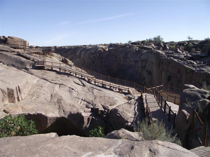
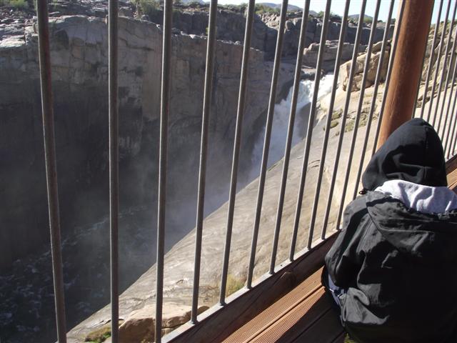
We visited the park the next day. Since we had been there some 11 years ago a number of new boardwalks and railed platforms had been erected, enabling you to see the waterfall from different angles.
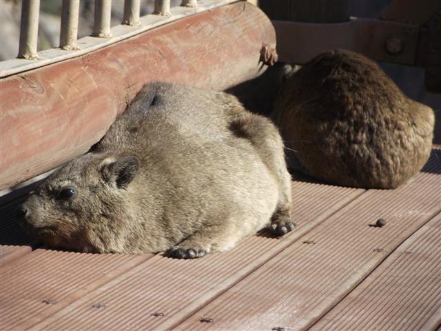
 At some of these platforms we had to first shoo the dassies away to get on.
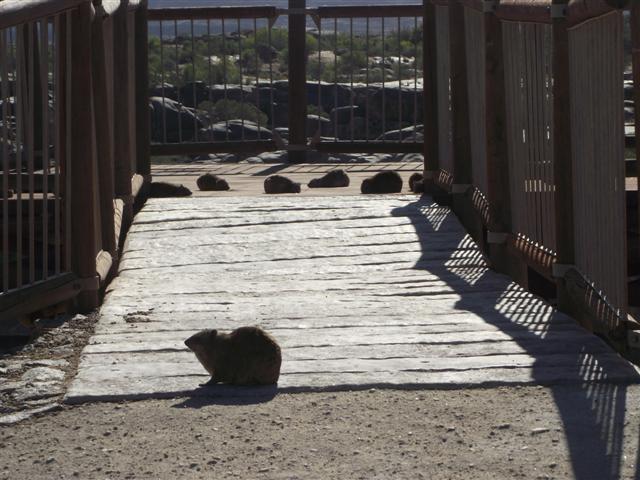 They were reluctant to move. Which I understand. It was about 6 degrees Celsius, with a very chilly wind blowing. I detected a hint of distrust on the part of the dassies.
The waterfall is an impressive 56 meters fall. With the boardwalks one can view the fall from various angles.
 According to the Sanparks website the Khoi people called it Aukoerebis, place of great noise. Point taken.
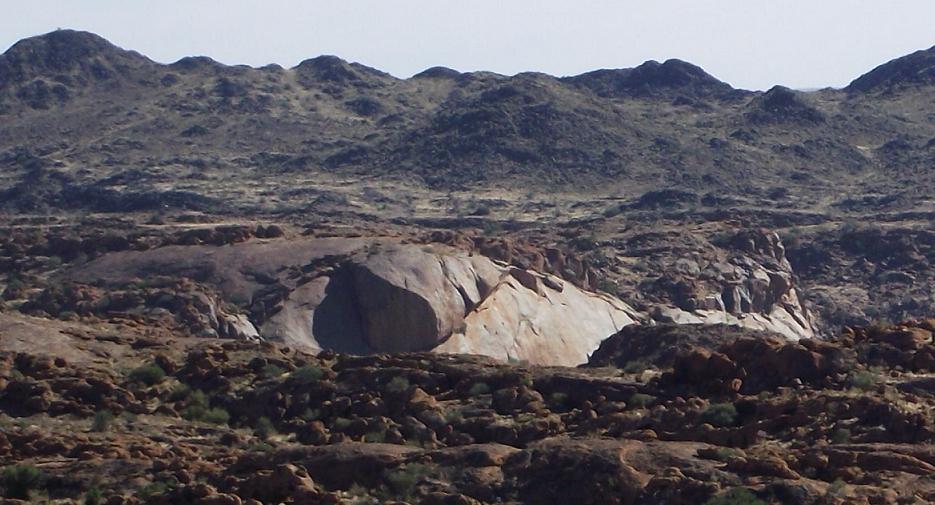
We went on a drive through the park. We did not do the whole drive, but visited the red granite moon landscape.

From there we went to mount Ararat.
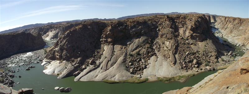
 And then again to another lookout point, Oranjekom, where there is a bend in the river. So you see where it comes from, and where it is going.
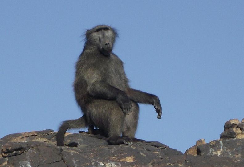
Near the camp a naughty little bugger was keeping a lookout for things to scavenge. We saw him have a go at a window of one of the houses. We saw the aftermath of him visiting the tented camps as well. He was not popular.
One day, this hairy guy will become a butterfly. So I’m told. The one below, I mean.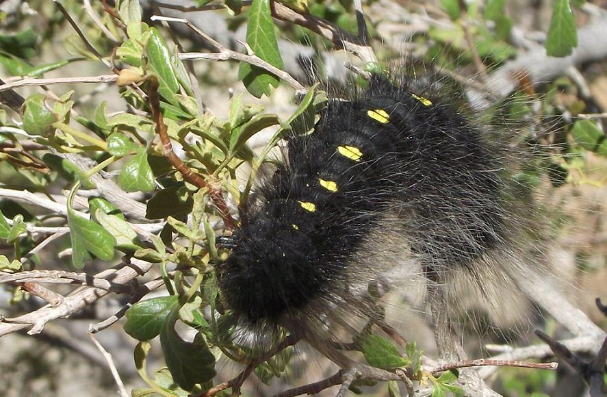
Quiver tree.
Night Drive
Dressed up like Eskimos we went on a one-and-a-half hour night drive the evening.
The dressing up turned out to be a good idea. Some of the things that the guide stopped for us to savour is the Katabatic wind. That is the name of the **** cold wind that blows at night. Apparently this lovely wind also has a daytime name, the Anabatic wind. Now you know.
The guide did his level best making the tour worth our while. The hour-an-a-half turned into a three hour trip. The guide did his best to make this an informative two-way discussion. Fortunately my wife hates uncomfortable silences, so between her and the biology teacher on the tour with us, they kept the guide good company. If they could just drive away the chill the way they did with the uncomfortable silences.
We saw Cape hares and bush hares, black thorn (swarthaak, which I misheard as swarthaas, much to the delight of my family), spotted eagle owl, kudu, klipspringer, a variation of reeds and bushes, which admittedly I also saw during my self-drive day drive, only without the benefit of running commentary on it. And, of course, we were introduced to the ***** katabatic wind. Quite a few times. Actually, it was a pretty ongoing encounter.
Just on 22h00 the evening we were dropped off again at the parking area. Kudos to the guide for a very nice tour, and for his endeavors to keep the occupants of the vehicle going in a language none were quite comfortable in.
English, she ees not beeg in Augrabies.
Riemvasmaak
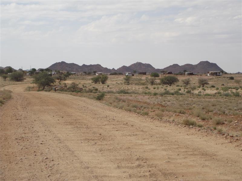
Having done and seen all we came for at the Augrabies National Park, we decided to go find Riemvasmaak.
Riemvasmaak has a very politically laden history. In about 1973 the Riemvasmakers were moved to make place for an army shooting terrain. The Xhosa speaking part of the community was moved to the Eastern Cape, and the Nama speaking people to Namibia. No amount of assuming can get met to a logical reason why they moved the Riemvasmakers so far away from their place.
In 1993 they were moved back there. The Xhosa speakers were moved to Vredesvallei at the banks of the Orange river, and 17 km’s apart, the Nama people to the old mission station – that is where we went.

[Imagery © 2015 TerraMetrics, Map data © 2015 AfriGIS (Pty) Ltd, Google]
I understand the concept of righting a wrong, and of returning to the place of you birth, but I had difficulties in understanding why the people would have wanted to move back there.
But the government invested heavily in the project. This is evident from the way the settlement had been developed. The last few kilometers before the town has even been tarred. But I could not spot any economic activity close by where the people of Riemvasmaak can go earn a living.
The 650 Riemvasmakers all share in a grape farm at Vredesvallei that the government bought for R28m and added some R12m in development grants. However, the whole project had been put under curatorship. By 2014 no Riemvasmakers derived any benefits from the farm. I don’t know what the current position is.
 Once through the settlement you hit a baddish gravel road, and a few kilometers later we found the office for the hot spring where we had to register. We forgot to draw cash before we left Kakamas, but could get together just enough cash to get us into the springs camping area.
Entering the area you look down into a valley where people were camping, and where rustic houses were built.

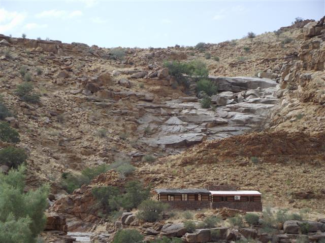
Further man made additions such as (I assume) water tanks are camouflaged either with rocks stacked around them, or with read mats covering them.

Descending down to the springs had me a bit concerned. It is rather steep going down, and I wondered whether my front wheel drive Tucson will make it back up again on its own. The road split in two. One for 4×4’s and the other for platkarre. The latter has cement slabs for improved traction.
Some of the houses were occupied and some campers had their camp made near the springs.
At the springs there is a small pool. Actually two pools. The water temperature felt slightly warmer than a gym pool on a good day.

We met a Swiss gentleman who plays the pan flute. He gave us a short demonstration. The steep cliffs surrounding us seemed to make for good acoustics, and it was a rather splendid show we got to listen to. In fact, my daughter was so fired up by this that she also took the spot after everyone left and sang us a song. I was duly impressed.
It can get lonely here. I even caught two rocks kissing.

To my relief, the ascent back up turned out to not be a problem at all.
A rather nice drive.
Part 3 to follow.